|
 |
 |
|
|
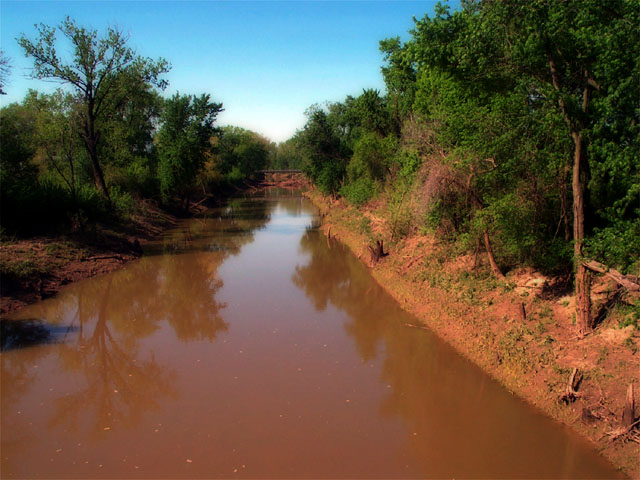
Photo 46 of 100 :: Day 2, Friday, 3 May 2002
This is fertile land. I neglected to note the name of this creek that flowed into the Missouri. This is near the tiny town of McBaine, which was pretty much destroyed in the great flood of 1993. Also near here is a 9-mile-long spur trail that you can ride to Columbia if you wish. I wished not. We only go to Columbia when Yo La Tengo plays the Blue Note. |
 |
 |
|
 |
 |
|
|